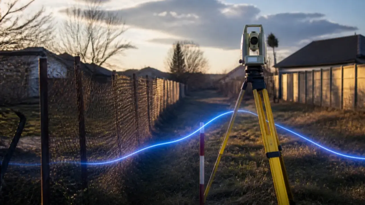
A measured area larger by up to 15% in the built-up area (5% outside) is registered on the owner's declaration; beyond that, only as possession (Law 7/1996, Art. 41(3)).
A grănițuire action costs 100 lei in court stamp duty; claiming a strip of land adds a value-based fee (GEO 80/2013, Art. 8).
Land books opened by systematic registration can be modified free of charge until the first later registration (Law 7/1996, Art. 14(7); ANCPI code 2.5.3).
Correcting a cadastral or land book error in Romania: the short answer
In Romania, a plot exists twice: on the ground and in the integrated system of cadastre and land book (Cartea Funciară). When the two disagree, for example a plot measured at 980 m² but registered as 1,050 m², or a boundary line that cuts through the neighbour's garage, the law offers different routes depending on what went wrong.
A technical error made by the land registry office (OCPI) at a reception or an entry can be corrected by a specialised commission of that office, on request or of its own motion, after checks on site (Law 7/1996, Art. 34(3)). An entry that does not match the real legal situation is rectified either by an authentic declaration of the person registered or by a final court judgment (Civil Code, Art. 907–908; Law 7/1996, Art. 33). And when two neighbours disagree on where one plot ends and the other begins, the Civil Code gives each the right to have the boundary fixed, sharing the costs equally (Art. 560), in court if necessary.
In plain words: first find out whose mistake it is: the office's, the surveyor's, a previous owner's, or a real dispute with the neighbour. Each has its own route, cost and time.
For reading the extract in the first place, start with our guide to the land register extract.
Four kinds of error, four routes
| What went wrong | Example | Route | Legal basis |
|---|---|---|---|
| A clerical error in an entry | A wrong digit in the area or a misspelt name | Correction on request or by the office itself | Civil Code, Art. 913 |
| An error by the office in a cadastral reception or an entry | The plan was integrated in the wrong place | OCPI commission, site check, minutes, update of Part I | Law 7/1996, Art. 34(3)–(5) |
| The plot was measured wrongly, or the reality changed | A new measurement shows a different area or shape | A new cadastral file for updating the technical data | Law 7/1996, Art. 41(3); Civil Code, Art. 914 |
| The entry does not match the legal reality | A right registered on the basis of a cancelled deed | Authentic declaration of the registered holder, or court judgment | Civil Code, Art. 907–910; Law 7/1996, Art. 33 |
A fifth case is simpler than it sounds. If the land book was opened through systematic registration (the state-funded measurement of a whole area), its entries can be modified free of charge, on request or by the office, until the first later registration based on a new deed (Law 7/1996, Art. 14(7)). ANCPI's tariff for correcting systematic cadastre is zero (code 2.5.3).
When the measured area is different
The most common case is a new measurement, by an authorised surveyor, that does not match the area in the deed or the land book. Law 7/1996 sets clear rules for registrations made at the owner's request (Art. 41(3)):
| The measured area is | What happens |
|---|---|
| Smaller | The smaller area is registered, with the owner's agreement |
| Larger by up to 15% inside the built-up area (intravilan), or up to 5% outside it (extravilan) | The measured area is registered on the basis of the cadastral file and the owner's declaration |
| Larger beyond those limits | The difference can only be noted as possession, without title, based on documents including minutes signed by the neighbours |
So a plot that grows by 20% on paper does not simply become 20% bigger. The extra land is a fact, not yet a right.
Rectification: when the entry is legally wrong
The Civil Code defines rectification as the deletion, correction or amendment of any inaccurate entry in the land book (Art. 907(2)). Any interested person can ask for it, for example when the deed behind the entry has been cancelled or the right was wrongly qualified (Art. 908(1)).
There are two ways to do it:
First find out whose mistake it is. The office, the notary and the court each fix a different kind of error.
- Amicably, through an authentic notarial declaration by the person whose right is to be deleted or changed (Art. 908(2); Law 7/1996, Art. 33(1)).
- In court, through a final judgment, if the person refuses (Art. 908(2)–(3)).
Time limits matter here. Against a buyer who acquired in good faith and for value, relying on the land book, a rectification action based on the invalidity of the entry or wrong qualification of the right must be brought within 3 years, or within 1 year if the decision was communicated to the person entitled (Art. 909(3)). That is one more reason to check the land book before you buy, not after.
When the neighbour disagrees: grănițuire
A boundary action (acțiunea în grănițuire) asks the court to set the line between two neighbouring plots and to fix boundary marks. The Civil Code obliges neighbours to take part in setting the boundary and to share the costs equally (Art. 560). Each owner may also fence their property at their own cost (Art. 561).
| Boundary action (grănițuire) | Claim for land (revendicare) | |
|---|---|---|
| What it decides | Where the line runs | Who owns a specific strip of land |
| Typical evidence | Deeds, plans, a court-appointed topographic expert | Title deeds, land book history, expert report |
| Court stamp duty | 100 lei | Calculated on the value of the land claimed |
| Legal basis | Civil Code, Art. 560; GEO 80/2013, Art. 8(1)(d) | GEO 80/2013, value-based fees |
If the same case both sets the boundary and claims a strip of land, the duty for the claim is added to the 100 lei (GEO 80/2013, Art. 8(1)(d)). Before going to court, try the simplest route: a joint measurement by an authorised surveyor and signed minutes with the neighbour. A boundary both owners sign is cheaper than one a judge sets.
For houses that share a wall, see also our guide to the party wall in a semi-detached villa.
What it costs, and how long it takes
| Step | Cost from published sources | Time from the law |
|---|---|---|
| Updating the technical data (area, geometry) in the land book | 75 lei per property (ANCPI code 2.6.3) | The registrar's decision is communicated no later than 30 days from filing (Law 7/1996, Art. 31(1)) |
| Correction of systematic cadastre | 0 lei (ANCPI code 2.5.3) | Same |
| Land book actions in court that do not concern the merits of the right | 50 lei stamp duty (GEO 80/2013, Art. 20) | Depends on the court |
| Boundary action | 100 lei stamp duty, plus expert and lawyer fees | Depends on the court and the expertise |
| Surveyor's cadastral file | No official price; ask for written quotes | Depends on the surveyor |
If you disagree with the registrar's decision, you can ask for a re-examination within 15 days of being notified, and then complain to the court (Law 7/1996, Art. 31(2)–(3)). And if the office's own error caused you a loss that these remedies cannot fix, the Civil Code allows a damages claim against the OCPI and the person responsible, within one year of learning of the harm (Art. 915).
Before you buy: a short checklist
- Compare the deed, the extract and the ground. Area, shape, frontage, neighbours.
- Ask for the cadastral plan (plan de amplasament și delimitare) and look at where the fences actually stand.
- Ask whether the area was measured recently, by whom, and whether the neighbours signed.
- Check Part III for any registered legal action, including a boundary or rectification case.
- Ask the seller to fix known errors before the sale, not after. Agree in writing who pays and by when.
- For land with a history of restitution, read our guide to restitution claims on land in Ilfov.
- Use an independent lawyer and an authorised surveyor who work for you.
Frequently asked questions
How do I correct the area of my plot in the Romanian land book?
An authorised surveyor prepares a cadastral file for updating the technical data, which is filed at the OCPI. If the measured area is smaller, it is registered with your agreement; if larger by up to 15% in the built-up area or 5% outside it, it is registered on your declaration; beyond that, the difference can only be noted as possession (Law 7/1996, Art. 41(3)).
What if the OCPI made the mistake?
Each territorial office has a commission that corrects errors made in cadastral receptions and land book entries, on request or of its own motion, after site checks (Law 7/1996, Art. 34(3)). The resulting decision can be challenged like any other land book decision.
What is grănițuire?
It is the procedure, usually in court, that fixes the boundary between two neighbouring plots. Neighbours must take part and share the costs equally (Civil Code, Art. 560). The court stamp duty is 100 lei.
Can I fix an error after I have bought the property?
Yes, through the routes above. But some rectification actions against a good-faith buyer have deadlines of 1 to 3 years (Civil Code, Art. 909), and a dispute is always cheaper to solve before the money is paid.
How much does correcting a land book entry cost?
ANCPI charges 75 lei for updating the technical data of a property, and nothing for correcting systematic cadastre. Add the surveyor's fee and, if needed, notary, lawyer and court costs.
The bottom line
A wrong area or boundary in a Romanian land book is common and usually fixable. The key is to name the error correctly, because the office, the notary and the court each fix a different kind of mistake.
If you are buying land or a house and the numbers do not match, book a half-hour call with me. We will go through the extract and the plan together, before you sign.
Moti Azulay, Compass Group Romania
Sources: Law 7/1996 on cadastre and land registration (legislatie.just.ro), Art. 14, 31, 33, 34, 41 · Civil Code (legislatie.just.ro), Art. 560–561, 907–915 · GEO 80/2013 on court stamp duties (consolidated copy), Art. 8, 20 · ANCPI tariffs, Order 16/2019 as amended by Order 1498/2024 (reproduction) · ANCPI
This article is general information only and is not legal, tax or financial advice. The rules are current as of 22 October 2026. For your own plot, consult an independent lawyer and an authorised surveyor.
Now you know more.
This article is general information, not legal, tax or financial advice. Consult local professionals before any transaction.